
Looking Up Alameda County Neighbors
An Alameda County neighbors search should state whether it is looking for an adjacent parcel, an owner channel, a historical householder, or a public civic organization. The sources below serve those different purposes. The map and assessment roll are current parcel tools. Reverse directories and historical voter registers are dated collections. The approved modern voter file is a restricted election record, not an open block browser.
| Source | What It Shows About a Block | Access |
|---|---|---|
| Alameda County Parcel Viewer | Subject parcel, adjacent polygons, APNs, site-address clues | Free map by address, APN, or selection |
| Assessment and tax records | Owner or assessee channel, mailing destination, values, exemptions | Free address or APN search |
| Recorded instruments | Title parties and legal descriptions for parcels on the block | 1969-present electronic index; older counter or mail |
| Reverse directories | Listed householders by number and neighboring addresses | Selected library and digital years |
| Historical voter registers | Registered adults and addresses in the historical run | Oakland History Center, 1867-1944 |
| Neighborhood councils | Public meeting and organization contacts, not member names | Public city or community pages |
An owner result is not an occupant result. A directory name is not a current confirmation. A council contact is not a membership roll. This vocabulary keeps a neighbors lookup accurate while still making the block's public record useful.
Click Adjacent Alameda Parcels
The Alameda County Parcel Viewer supports APN search, site-address search, and map selection. To map neighbors, find the subject address, zoom until parcel polygons are visible, click the subject, and then click each touching or nearby polygon. Record each APN and exact site address before opening the assessment or tax source.
The research did not verify a stable radius, buffer, measurement, export, or full layer list. Do not describe the result as a measured radius or a legal survey. “Adjacent parcel” is the safe description for a polygon selected on the map. Boundary, easement, and lot questions belong with recorded plats, surveys, or the proper county office.
The Alameda County Parcel Viewer is the map source for this block method. The county map catalog offers the related geographic descriptions.
- Search the address or APN and save the subject parcel's date and wording.
- Click each adjacent polygon and make a short APN list.
- Check the owner or assessee channel in the assessment source, keeping mailing data separate.
- Use recorded instruments only after the owner name is known, and preserve instrument identifiers.
- For a whole named street, move to the Alameda County street directory workflow.
Alameda Owners and Block Occupants
Property records can show an owner or assessee channel and a tax mailing destination. The county assessor's mailing-address-change form separates the APN and property street from the new mailing street or PO box. It also asks about principal-residence status with choices such as “Still Occupy,” “Sold,” or “Rental.” These fields are clues about a filing, not proof of every person at the address.
A deed names parties to a recorded transaction. A permit names an applicant or contractor. A reverse directory names a listed person near a publication date. A neighbor lookup becomes more precise when each role is stated rather than collapsed into the word “neighbor.”
When the owner and mailing fields differ, retain both. When an address has no property owner clue, the occupants may not be the title parties. When a directory lists one householder, do not infer every household member.
Alameda Neighborhood Councils and Groups
Community organizations add a civic layer to an Alameda County neighbors search. They may publish meeting times, service areas, contacts, newsletters, or neighborhood history. The research found public organization names, not legitimate public rosters of private members. Use these sources to learn who serves an area, not to infer which households belong to it.
| Oakland councils | Jack London, Chinatown, Old Oakland Neighbors, Uptown/Gold Coast, Acorn and Oak, Prescott, Hoover Foster, West Oakland Neighbors. |
|---|---|
| North and central Oakland | PANIL, Golden Gate, Shattuck, Temescal, Greater Rockridge, North Hills, Montclair, Adams Point, Grand Lake, Cleveland Heights, Glenview. |
| East and southeast Oakland | Greater San Antonio, Fruitvale Unity, and Laurel/Redwood/Leona Heights. |
| Unincorporated advisory layer | Castro Valley, Eden Area, and Fairview Municipal Advisory Councils, plus the Unincorporated Services Committee. |
| Community groups | My Eden Voice and Padres Unidos de Cherryland, with public civic information rather than household rolls. |
The Oakland neighborhood resource can add city-level context when a parcel map leaves the civic setting blank. City and community pages do not replace assessment, deed, court, or voter custodians.
Alameda County Permits Along a Block
Permits can show how the built environment changed around an address. Oakland's records include building and planning permits, private-property enforcement, codes, complaints, and public-record request channels. Search may use address number and street, record or permit number, and a status date range. Older records appear in chronological ledgers or microfiche, while later records are online.
Outside Oakland, the incorporated city or county jurisdiction controls its own permit records. Unincorporated Ashland, Castro Valley, Cherryland, Fairview, San Lorenzo, Sunol, and rural areas use county planning and public-works channels. A permit can name an applicant, contractor, property type, project, date, status, or valuation. It does not establish a block's full population.
A permit is useful to a neighbor who wants to understand a street's construction history or contact the right office about a public project. It is not evidence that a named applicant still occupies the parcel.
Read an Alameda Block in Reverse Directories
Oakland History Center reverse holdings include selected years from 1936 through 1995, with Haines Oakland and suburban runs reaching selected years through 2020. A reverse directory starts with street and number, so it can place listed householders next to one another for a past year. Historical voter registers from 1867 through 1944 add another dated street layer.
Read the exact address, the nearby numbers, and the listed names. Then compare the names with the alphabetic city directory, census, obituary, or deed chain. A missing listing may reflect a publication gap, an unlisted number, a changed street name, or an OCR error. The historical result belongs to its date.
The directory collection details live on the Alameda County city directory page. The block question here uses that shelf only for immediate neighborhood context.
Voter Files Are Not Alameda Block Lists
My Voter Profile is an authenticated self-service tool. It asks for birth date, California driver-license or ID information, and the last four digits of a Social Security number, then returns the voter's own registration, polling place, sample ballot, vote-by-mail status, language preference, and districts. It is not a casual lookup of Alameda County neighbors.
Approved voter-file requests are governed by Elections Code sections 2194 and 2188. They require a stated purpose, requested fields, security details, and signed restrictions against sale, redistribution, or unauthorized use. Confidential voters and preregistered minors are omitted. The county eData page provides aggregate maps and statistics without naming a block's residents.
The Alameda My Voter Profile link is the correct self-service route. A result that is absent or restricted should stay absent or restricted.
Historical alternative. Oakland History Center voter registers from 1867 through 1944 can add dated address evidence, but they do not turn modern voter protections into an open neighbor list.
Official Rolls Versus Compiled Neighbor Tools
A commercial compilation tool can be convenient, but it may mix public and purchased data, use stale addresses, merge names, and charge for access. Official sources are narrower and slower, yet they identify the custodian, record date, and access rule. A careful Alameda County neighbors search uses the official source for the claim that matters.
| Source Type | Strength | Limit |
|---|---|---|
| Parcel and assessment record | Stable APN, site address, owner channel, map link | Does not list every occupant |
| Recorded deed | Named parties, date, legal description | Title event, not a full household record |
| Reverse directory | Dated address-to-listed-name clue | Selected years and listed subscribers or householders |
| Commercial compilation | May gather many clue types in one interface | Staleness, mismatches, cost, unclear provenance |
Use a compiled result, if encountered, only as a lead to verify with the parcel, court, library, or custodian. Do not publish a guess as the identity of a neighbor.
Alameda Neighbor Lookup Privacy Limits
California's Safe at Home program can provide a substitute mailing address and confidential voter registration for eligible participants. DMV residence, phone, photo, Social Security number, and medical data are protected. Utility and delivery customer data is not a public block source. DROP lets verified California residents send a deletion request to registered data brokers, but it does not erase government public records, first-party records, or exempt data.
Those limits explain why an Alameda County neighbors result may show a parcel without a person, an owner without an occupant, or a civic organization without its membership. The absence is a privacy or source boundary, not proof that no one lives nearby.
The California DROP information page describes the current deletion program and its scope.
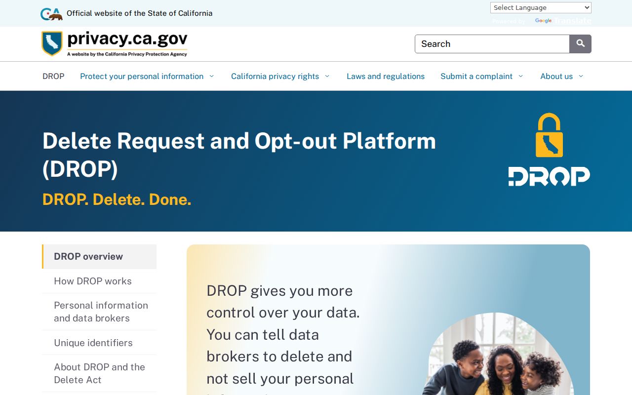
Use the privacy program as a reminder to respect a protected address, not as a prompt to seek a workaround.
Lawful use. Neighbor records support getting to know a block, genealogy, civic participation, and personal safety awareness. Do not use them to stalk, harass, intimidate, or harm another person.
Use Alameda Block Records Safely
Names, obituaries, property filings, and neighborhood contacts can be used by scammers. Alameda research notes grandparent scams, court impersonation, jury-duty demands, deed-copy mailers, and unclaimed-property fee solicitations. Verify a message through a known court, agency, or relative's independent number. Do not send money or personal codes because a caller knows an address or family name.
For a consumer complaint, use the California Attorney General's complaint channel. For federal fraud, use the FTC reporting route. An incident that creates immediate danger belongs with emergency services. A neighbors lookup is a research tool, not an identity guarantee.
The California Attorney General public-record guide explains the official-record boundary.
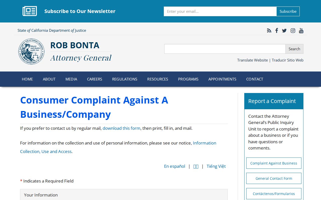
The public-record guide image is a reminder to use the state source for access rules and the county source for a county record.
The California consumer complaint channel is the proper route for a complaint about a business or data practice.
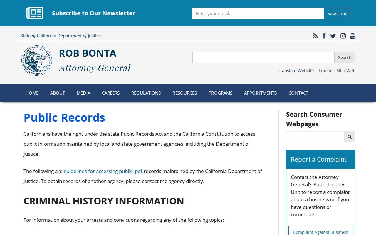
The complaint guidance image belongs to the reporting step, not to the parcel or neighbor record itself.
Federal fraud reporting is available through the FTC fraud-reporting portal.
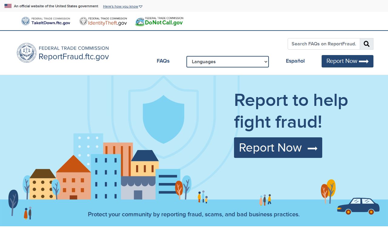
Keep the report channel separate from the record search and save the date and confirmation details.