
Finding Residents Along an Alameda Street
A useful Alameda County street directory search starts with one address and moves through sources in a fixed order. The map gives the parcel. The assessment roll adds property context. The recorder's index gives a transaction trail after an owner name is known. A reverse directory or historical voter register can add a listed householder for a past year. Each step has a different meaning, so the result should say whether it identifies an owner, a recorded party, a registered voter, or a directory entry.
Use the following walkthrough for a current street question. It avoids the recorder's address-index problem and keeps a street directory from becoming a claim about people who are not named in the source.
- Enter the full site address in the Alameda County Property Assessment Information portal. Save the APN, site address, and any displayed property facts.
- Open the Parcel Viewer, search by site address or APN, and click the subject polygon. Note adjacent APNs without assuming that every touching parcel shares a household.
- Use the tax portal to compare the address and formatted parcel number. Keep a tax-bill mailing destination labeled as correspondence, not as proof of occupancy.
- Take the current owner or assessee clue to Official Public Records. Search the party name, document type, and date range to find a deed or related instrument.
- For a historical street directory trail, check an address-order volume, then compare the listed name with an alphabetic directory, census page, obituary, or probate record.
Turn an Alameda Address into an APN
The Alameda County Assessor describes a free property interface built around an APN or site address. The assessor's property-assessment guidance points to that portal and the office's public contact channels. The Parcel Viewer adds a map-selection mode. A tax search accepts an autocomplete address or a parcel number in the format shown on the bill, with dashes and no leading zeroes. These tools are the practical first layer for a street directory because they convert a written address into a stable parcel clue.
The public assessor interface does not advertise a general owner-name browse. That makes address-first work more reliable than starting with a surname. The site address identifies the land. A separate mailing address may be a PO box, a different city, or an entity destination. The assessment form even separates the APN, property street, owner, new mailing address, and principal-residence choices.
A screenshot source for the Alameda County assessor search shows the portal that begins this address chain.
Use the current county interface for live fields and parcel results; the image is a visual cue, not a substitute for the record.
| APN | Parcel identifier used to tie map, assessment, and tax clues together. |
|---|---|
| Site Address | Situs wording for the land. It is not the same as a tax mailing destination. |
| Map Parcel | A visible polygon selected in the Parcel Viewer. |
| Address tab | Autocomplete selection in the tax portal before a result is returned. |
| Parcel Number tab | Formatted number with dashes and no leading zeroes, as shown on the bill. |
Browse Alameda County Parcels by Street
The county map catalog describes the Parcel Viewer as a way to search by APN, site address, or map selection. A street directory walk can therefore proceed parcel by parcel. Find the subject site, zoom until the polygons are clear, click the parcel, and record each nearby APN. The public research did not verify a stable radius or buffer tool, so a careful account should say “adjacent” or “nearby” rather than promise a measured block radius.
Map data is dynamic and is not a legal survey. It can locate the parcel and show its shape, but a boundary question belongs with recorded plats, surveys, or the proper county office. For a street-level resident question, the map is a bridge to names and records, not the final answer.
The Alameda County maps catalog provides the county's geographic entry point. The address search is strongest when the map result is saved with its date, APN, and exact address wording.
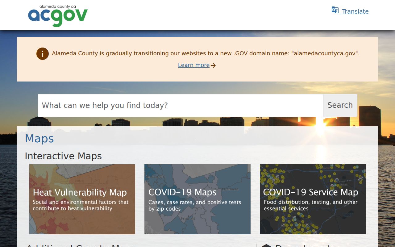
The map catalog image helps distinguish a geographic viewer from an owner list. Adjacent parcels still need separate assessment and title checks.
- Parcel
- A mapped land unit identified by an APN. One parcel can have many occupants or none listed in the property record.
- Situs address
- The physical address assigned to the land or structure, distinct from the mailing address used for tax correspondence.
- Plat
- A recorded map that can show lots, blocks, easements, or subdivision relationships.
- Criss-cross directory
- An address-order or telephone-order directory that turns a house number into a listed name for a particular year.
Alameda County Records Searchable by Street
Address-keyed sources cover different parts of the street question. The assessment and tax portals start with the parcel. The Parcel Viewer supplies geometry. Permits and code files belong to the city or county jurisdiction where the site sits. The recorder requires an owner name. Voter files have approved-purpose rules, and reverse directories only list the people captured by that publication.
| Record Set | Keeper | Street Clue | Access |
|---|---|---|---|
| Assessment and tax | Assessor and Treasurer-Tax Collector | APN, site address, values, mailing destination, exemptions | Free address or APN search |
| Parcel Viewer | Alameda County | Polygons, APNs, map-selected nearby parcels | Free interactive viewer |
| Recorded instruments | Clerk-Recorder | Grantor, grantee, document type, date, legal description | 1969-present index; older counter or mail |
| Permits and code | City or county jurisdiction | Applicant, contractor, project, status, date, address | Portal or scoped request |
| Reverse directory | Oakland History Center and later collections | Listed householder or telephone by number | Selected years, library or digital copy |
That chain explains why an Alameda County street directory cannot be built from one search box. The APN links the map to assessment and recorded legal descriptions. The street name links the address to permits and directory pages. A person clue still needs its own source check.
Why the Alameda Recorder Needs a Name
Alameda County Official Public Records are alphabetized by indexed party names. The office states that it does not index recorded documents by APN or property address. Search 1969 to the present with a party name, instrument number, date range, document type, or book-page reference. Older instruments from 1853 through 1968 require in-person or mail research after the relevant book, page, reel, or image is known.
A grantor is a party transferring an interest; a grantee is a party receiving it. Follow the current owner back to an acquisition deed, record the grantor and legal description, then search the earlier party as a grantee. The chain can identify title history, but it does not list each person who occupied the property.
The recorder's official search gateway is the correct place to check current controls. A street directory workflow should preserve the instrument number and recording date so a later copy request reaches the right document.
Alameda County Permit Trails by Address
Permit records are jurisdictional. County Community Development and Public Works cover unincorporated Ashland, Castro Valley, Cherryland, Fairview, San Lorenzo, Sunol, and rural areas. Incorporated cities keep their own permit counters and databases. Oakland's documented system includes older chronological ledgers, microfiche from roughly the 1910s through 1990, and later online records.
Oakland permit and property-enforcement searches can use an address number and street, record or permit number, and a status date range. The categories include building permits, planning permits, codes, complaints, and public-record requests. A file may name an owner, applicant, contractor, project, date, status, or valuation. It does not create a complete list of the people at the address.
For a municipal record, identify the incorporated city first. A county deed remains a county record even when a city issued the permit. If a modern portal lacks an older file, use a narrowly described request to the relevant planning, building, fire, code, or public-works office.
Alameda Tax Search Keeps Two Addresses
The tax portal is helpful because it separates an autocomplete address search from a formatted parcel-number search. Its result can add assessed value, exemptions or status flags, tax-rate area, and a parcel-map link. A tax-bill destination remains a correspondence clue. It may be a different city, a PO box, an entity address, or a place chosen by an owner who does not occupy the parcel.
The assessor's mailing-address-change form makes the distinction clear. It asks for the APN and property street separately from the new mailing street or PO box, and it offers choices such as “Still Occupy,” “Sold,” or “Rental.” Those declarations are useful context but do not prove every person at the site.
A screenshot of the Alameda County property tax address search shows the address-to-parcel bridge used in a street directory.
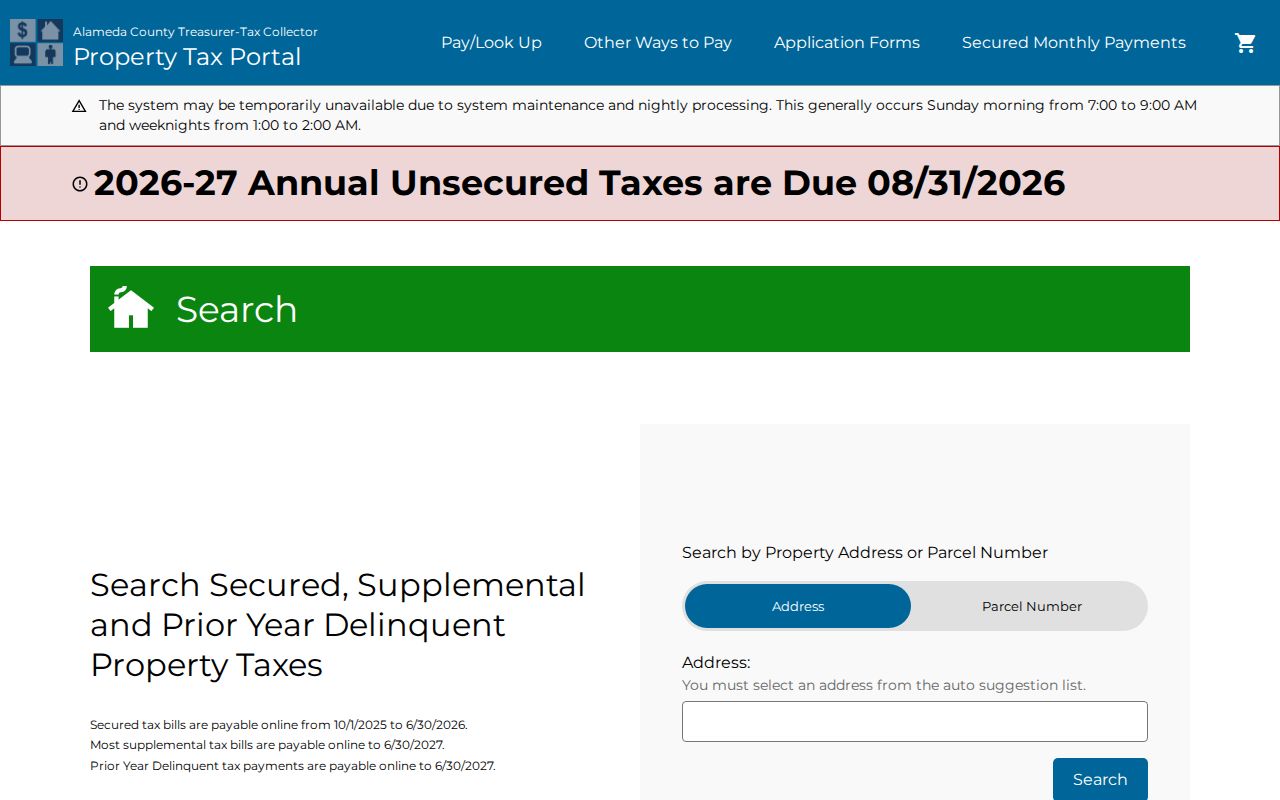
When the mailing and situs fields differ, retain both. That small note prevents a tax address from being mistaken for an occupant record.
Read an Alameda Street in Reverse Directories
The Oakland History Center holds reverse or criss-cross directories for selected years including 1936, 1953, 1961, 1964 through 1974, and 1995. The online history collection identifies digitized volumes for 1938, 1940, and 1944. Haines runs extend selected Oakland and East Bay coverage into later decades. These books organize an address or telephone clue differently from an alphabetic city directory.
Start at the street and house number. Record the listed name, any phone detail, and the adjacent numbers. Then check the alphabetic section, an obituary, a census page, or a deed if the person matters to the research. A missing entry can reflect a publication gap, an unlisted subscriber, a spelling issue, or a move. It is not proof that no one lived at the address.
The historical shelf is the main subject of the Alameda County city directory page. Here, it works as one street tool inside an address chain.
The Oakland house-history guide supplies the local street-name and property-history context behind this method.
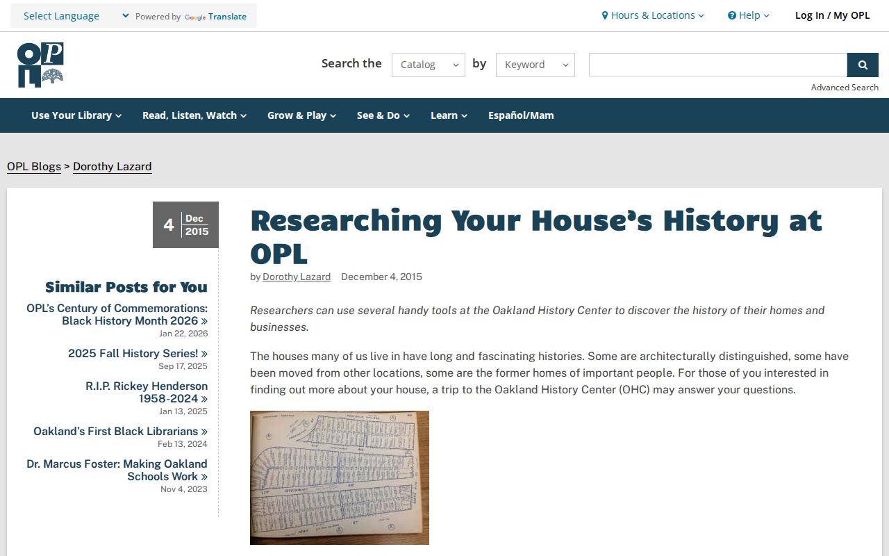
The guide image belongs beside the address workflow because it helps bridge an older street form to a current parcel clue.
March 2025 Alameda Place Names
In March 2025, USPS adopted official community Place Names for nearly 29,000 unincorporated Alameda County addresses after county action. The change included names such as Ashland, Cherryland, Hayward Acres, Fairview, Castro Valley, and San Lorenzo. ZIP codes, APNs, taxes, schools, services, and jurisdiction stayed the same, and older city names remained deliverable alternatives.
This matters when a street directory search compares a new mailing line with an old deed, permit, or directory page. Keep the APN and legal description as the bridge. A changed postal identity does not create a new parcel or erase a prior address form.
The county place-name correction notice is the source for the current explanation. USPS remains the authority for checking one live address and its ZIP presentation.
Limits of an Alameda Street Directory
A street directory can show an owner channel, a recorded party, a listed householder, or an approved registration record. It cannot promise a full household. Utility customers, delivery data, DMV residence details, and many protected addresses are not open street lists. The public sources also do not prove that an owner, business contact, or directory householder is every person present.
California's Safe at Home program can substitute a mailing address for eligible participants. Voter data has statutory purposes, and the county's My Voter Profile is authenticated self-service rather than a block browser. If a result is absent, the reason may be a protected address, a closed source, an older index, a different jurisdiction, or a spelling variant.
Lawful use. Alameda County address records support personal research, genealogy, estate work, and civic curiosity. Do not use a street directory to stalk, harass, intimidate, or harm anyone. Confirm important facts with the custodian.